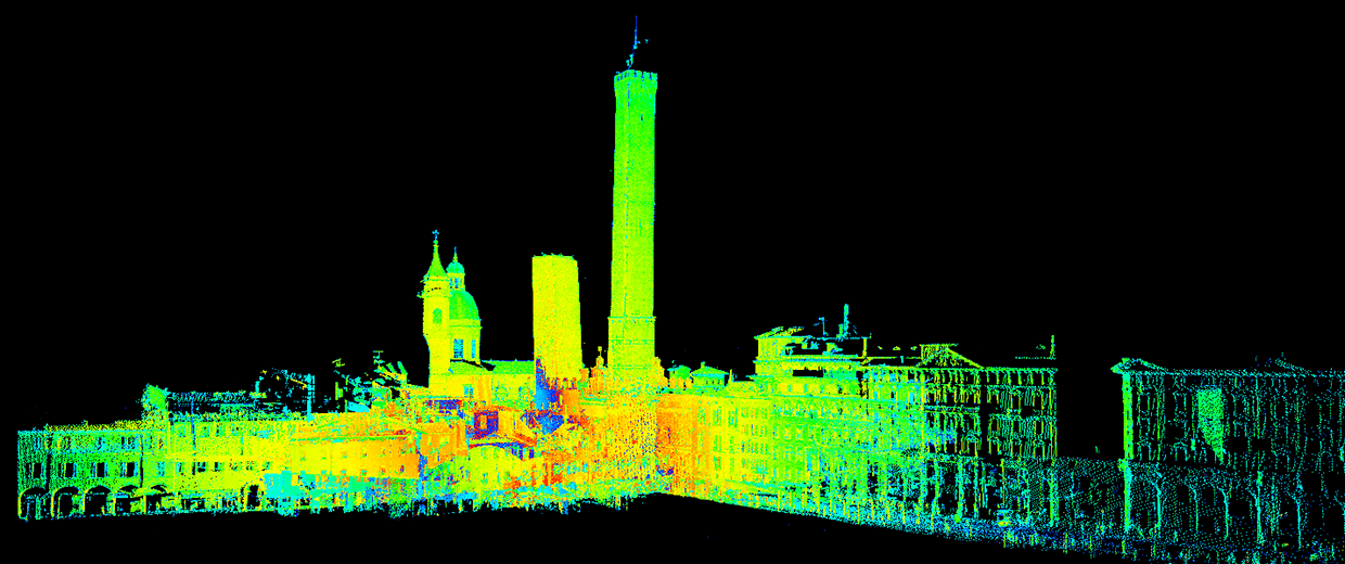
Geomatics
Acquisition, development, description, analysis and management of metric and thematic data, related to the Earth's surface, or to portions of it
People
Gabriele Bitelli
Full Professor
keywords:
Geomatics, Cultural Heritage, Numerical Cartography, Remote Sensing, Historical Cartography, Surveying, Digital
Read more
keywords:
Geomatics, 3D survey, Digital photogrammetry, Structured light projection 3D scanning
Stefano Gandolfi
Full Professor
keywords:
Navigation, Continuously Operating Reference Stations, GPS, Survey, Monitoring, Geodesy, Antarctica, Cadastre
keywords:
UAV, GNSS, Photogrammetry, LiDAR, Coastal monitoring, Shoreline, Co-registration
Eugenia Giorgini
PhD Student
keywords:
SAR Interferometry, Persistent Scatterers, Synthetic Aperture Radar, GNSS, Subsidence Monitoring, Time Series Analysis
Valentina Alena Girelli
Associate Professor
keywords:
Geomatics, 3D Surveying, 3D Modelling, Laser scanner, Digital Photogrammetry, Cultural Heritage
Alessandro Lambertini
Senior assistant professor (fixed-term)
keywords:
Geomatics, 3D Survey, GIS, UAV, UUV, VR, Digital Twin
keywords:
Earth Observation
Emanuele Mandanici
Associate Professor
keywords:
Remote Sensing, Geomatics, Thermography, Surveying, GIS
Luca Tavasci
Fixed-term Researcher in Tenure Track L. 79/2022
Maria Alessandra Tini
Junior assistant professor (fixed-term)
Area dei Funzionari - Settore scientifico - tecnologico
keywords:
3D modelling, Monitoring, Cultural heritage
Marco Ventura
Research fellow
keywords:
Geomatics
Luca Vittuari
Full Professor
keywords:
Geodesy, RPAS, Local Ties, Paleo-climate, GNSS, Laser Scanner, Antarctica, SAR Interferometry, Land subsidence,
Read more
Antonio Zanutta
Associate Professor
keywords:
Survey, GPS, Photogrammetry